 |
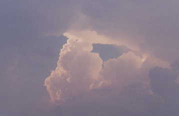
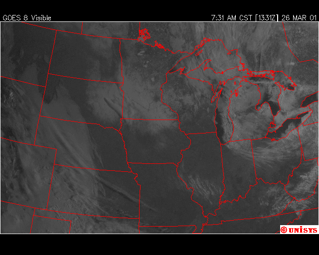
The "hurricane" shaped cloud cover over far eastern Iowa was not only appearing like a tiny hurricane, but was rotating as well. No radar reflectivity was measured from this anomoly and it is unknown what this was or how it was formed. |
 |
In this image, two nearly perpendicular gravity waves are seen |
 |
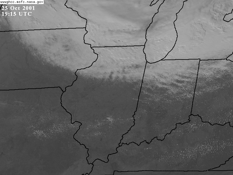
On this visible satellite image you can see tracks over Indiana and Ohio left by the cellular lake effect/enhanced snow storms |
 |
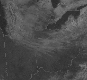
A zoomed in view of the snow tracks |
 |
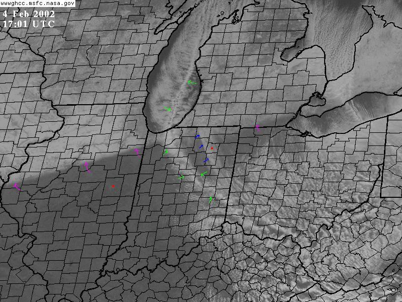
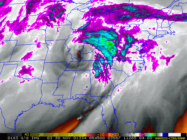
Here you can see the backbone type shape of a lake parallel snow band, pointed out by the green arrows. Note how it extends all the way to southern OH. The blue arrows point to where the band persisted for several hours and accumulated a couple of inches of snowfall. The pink arrows are the snow cover line from a previous mid-latitude cyclone associated snowstorm |
 |
It is unknown what has created this weird satellite image as warmer drier air erodes away at low-level clouds |
 |
The Midwest under a layer of snowcover. Notice how the forested valleys and cities stand out |
 |
The late season snow cover over IL, IN, and OH is a beautiful sight, but if you look near Evansvill, IN you can see the actual circulation assoicated with a high pressure center |
 |
The circulation around a high pressure center can be seen here over Indiana. Loop (~7M) |
 |
Fog-filled valleys stand out in this early morning visible satellite image |
 |
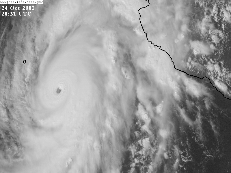
A well-defined eye can be seen in Hurricane Kenna packing 165 mph sustained winds. The low angle from the GOES-East Satellite gives a good look at the side of the eyewall |
 |
Dual sets of gravity in Hurricane Florence |
 |
A lake effect vortex over southern Lake Michigan. Loop (~7M) |
 |
The "eye" of an extratropical cyclone can be seen in this water vapor image |
 |
A very well-defined cold front can be seen in this image |
 |
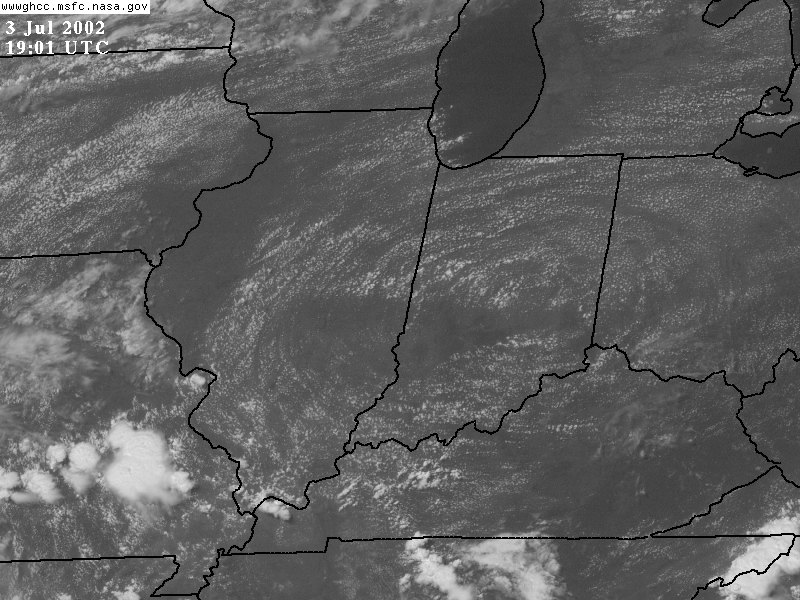
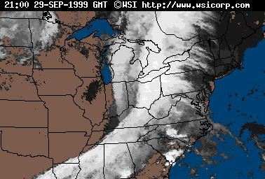
A cloud shield can be seen here in this early morning visible satellite image |
 |
A beautiful satellite image of an occluded cyclone in the Gulf of Alaska |
 |
A water vapor image of the same cyclone, notice the 1000°+ spiral! |
 |
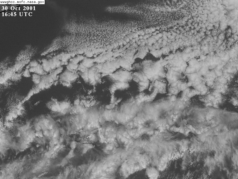
Some cool looking cloud clusters over the tropics |
 |
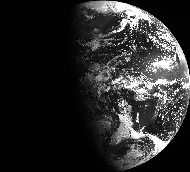
A beautiful "half earth" |
 |
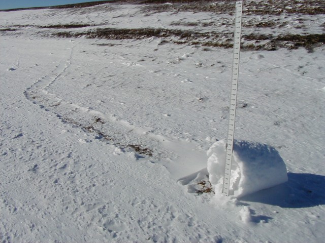
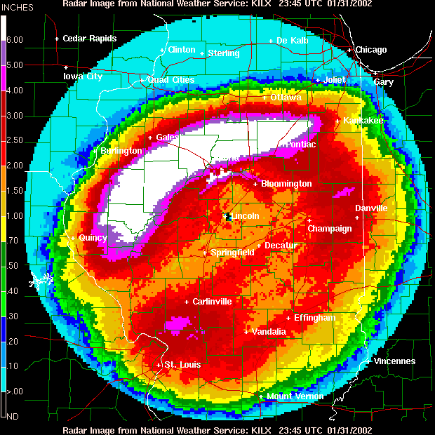
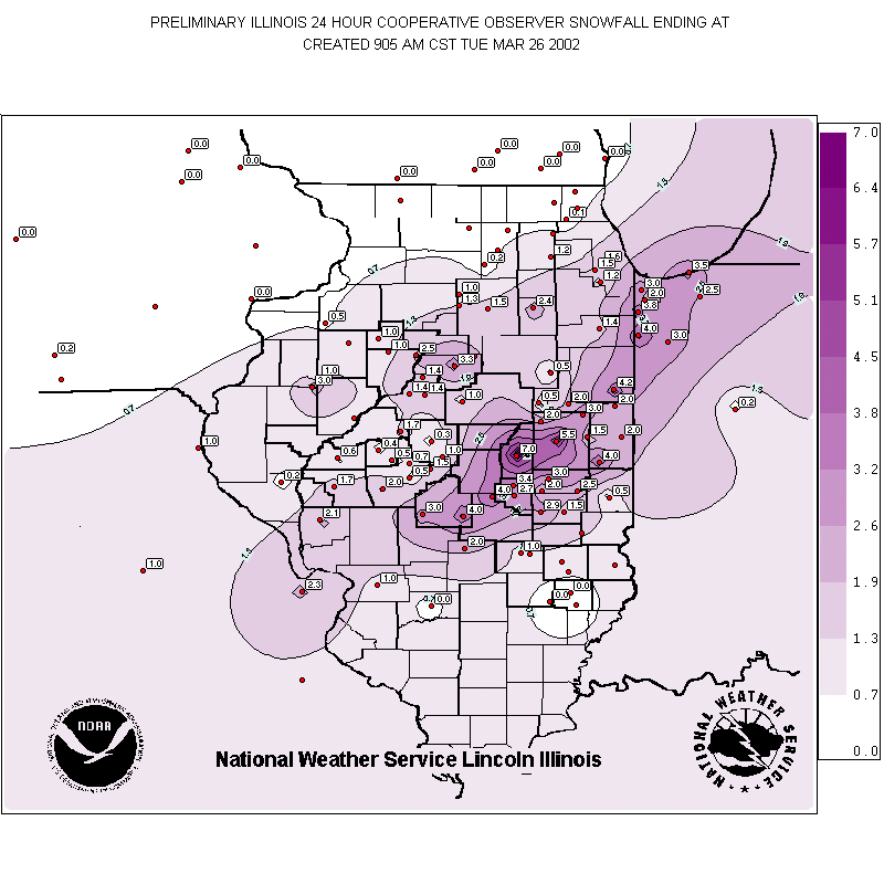
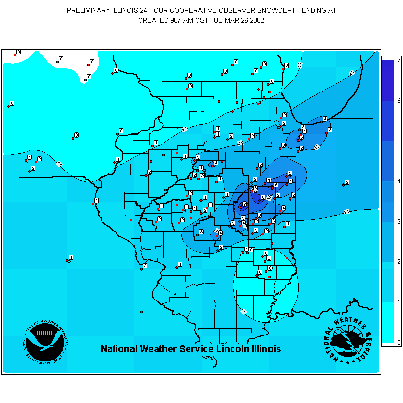
Total snowfall for March 25, 2002: an unprecedented late season snowstorm in which up to 7 inches fell across central Illinois! |
 |
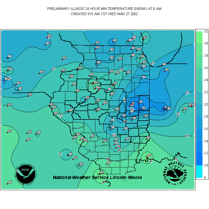
The total snow depth on the ground the following moring. |
 |
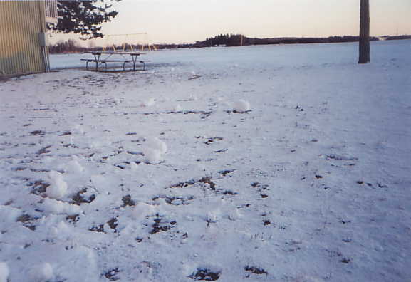
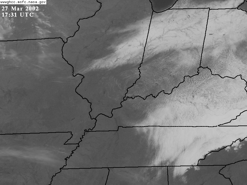
With clear skies, light winds, and a fresh snowcover, temperatures plummeted to an amazing 9°F the following night (March 27) in Champaign, IL resulting in the latest single digit temperature reading ever for this location! |
 |
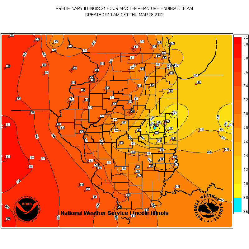
The temperatures struggled to climb above freezing that day in regions with heavy snow cover, while elsewhere temperatures climbed into the low 50s. (Note: This is a time when you do not rely on MOS to make your forecasts as MOS products were all at least 10°F too warm!) |
 |
When strong winds blow out or along to the left of the Lake Michigan shoreline, upwelling will occur. This becomes most pronounced in the summer as cooler water from below is brought to the surface. In this case rapidly cooling the water temperature from 70°F a few days previous to a chilly 52°F! |
|
|
|
|


